Thank you for your patience while we retrieve your images.
Home
Photos
Search
About
Contact
Blog
Home
»
All Photographs
»
Highways, wildlife, and mitigation measures
»
Lighthawk flight aerial photos US Hwy 93
32
of
34
photos
Thumbnails
Info
Categories & Keywords
Category:
Scenic
Subcategory:
Rivers
Subcategory Detail:
Keywords:
river
,
landscape
,
corridor
Photo Info
Dimensions
7360 x 4912
Original file size
24.7 MB
Image type
JPEG
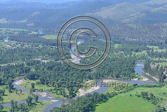
Confluence Clark Fork and Bitterroot River, south of Frenchtown, Montana, USA
Confluence Clark Fork and Bitterroot River, south of Frenchtown, Montana, USA
Copyright © 2013, by Marcel Huijser. With aerial support from LightHawk